

Carbon project feasibility: the 5 most common technical mistakes
Methodology before conclusions, eligible area instead of total area, stock that is not credit, a defensible baseline and net generation: the five mistakes that most distort carbon project feasibility analyses.
Por Especialista Ambiental · Carbono & MRV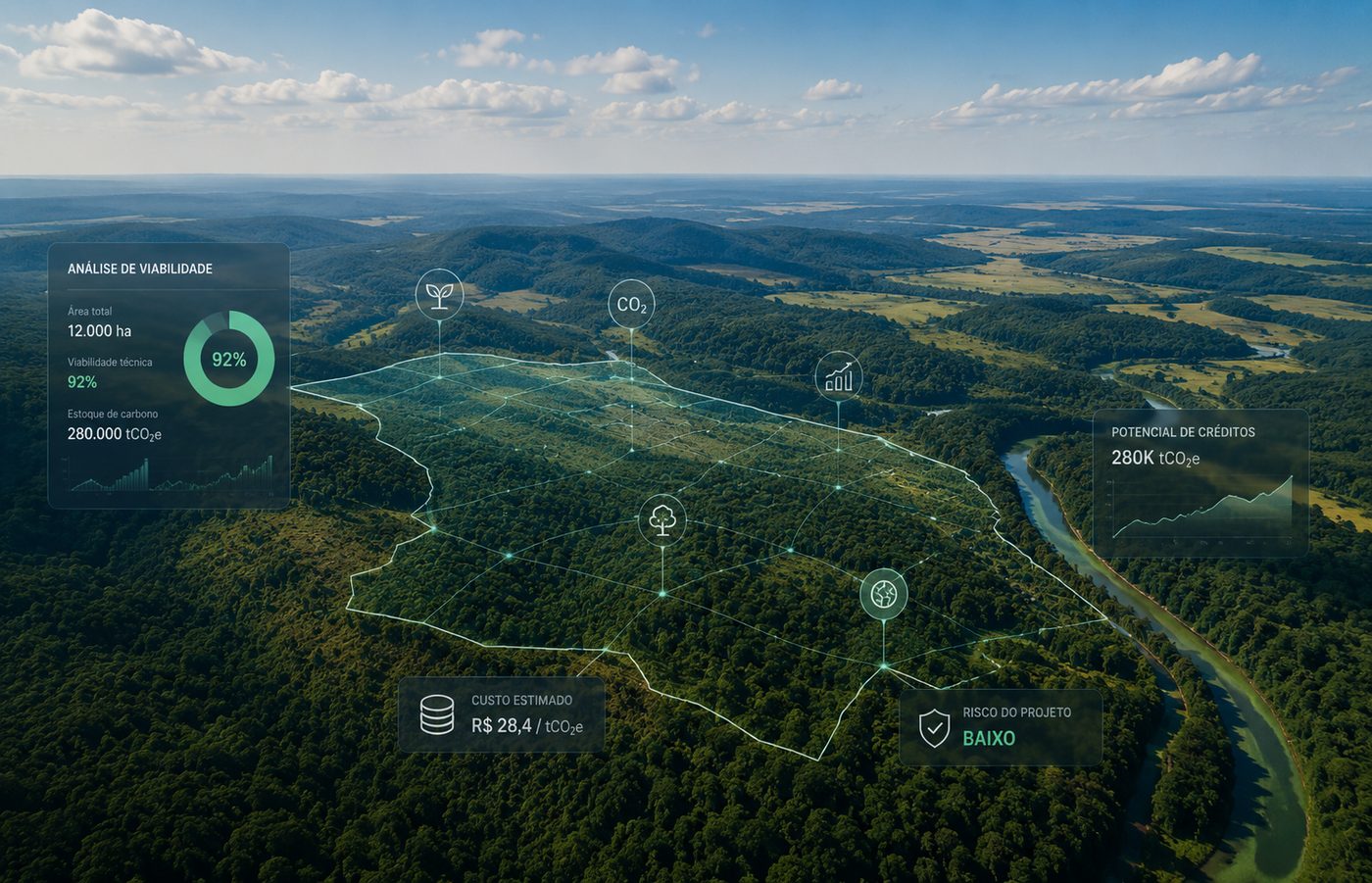
In short
- Feasibility starts with methodological compatibility, not with the number of hectares.
- Property area, project area, eligible area and creditable area are four different numbers.
- Existing carbon stock does not convert directly into credit: the credit is the additional benefit against the reference scenario.
- Baseline and additionality have to be defensible, not convenient to the desired result.
- Gross generation multiplied by price is not economic feasibility: deductions, buffer, costs and time to first issuance are missing.
A property with thousands of hectares of forest, a degraded area available for restoration or an operation able to reduce emissions do not, on their own, make a viable carbon project. Before estimating revenue or announcing credit potential, you have to answer whether the activity is eligible, whether an applicable methodology exists, which share of the area can be part of the project, whether the reference scenario is defensible and how much of the reduction or removal can actually be credited.
In the Verified Carbon Standard, methodologies determine applicability conditions, boundary definition, baseline, additionality, quantification and monitoring. That is why the analysis starts with methodological compatibility, not with the size of the area.
1. Starting from the desired credit instead of the applicable methodology
The first mistake shows up when the analysis starts from a ready-made conclusion: we have forest, so we will do REDD+; there is open land, so ARR fits; we will change agricultural management, therefore there will be credits. The sequence is inverted. First you understand the activity, the history of the area and the scenario without the project. Only then do you identify which standard, methodology and version can be applied.
- Real activity
- History and current condition of the area
- Applicable standard
- Methodology and version
- Applicability conditions
- Eligibility
- Baseline and additionality
- Quantification
An area covered by vegetation today does not mean its conservation generates REDD+ credits. Depending on the applicable methodology, you will need to assess historical deforestation dynamics, conversion risk, pressure drivers, vegetation condition, reference scenario, temporal eligibility and project boundaries. The same reasoning applies to ARR, agricultural management, energy or waste.
2. Confusing total area with eligible area
This mistake produces the largest distortions in preliminary studies. Multiplying 20,000 hectares by an estimated generation factor and calling the result the project potential ignores that the property contains already converted land, native vegetation, permanent preservation areas, legal reserve, productive land, infrastructure, water bodies, different land use histories, overlaps and stretches with no methodological eligibility.
Property area, project area, eligible area and creditable area rarely coincide.
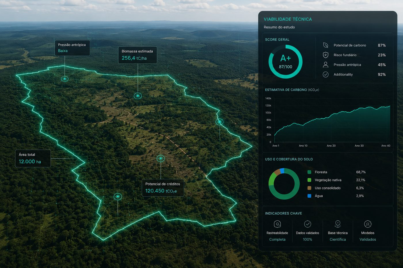
In the feasibility phase, geoprocessing exists to test hypotheses, not to produce a nice map. Crossing property boundaries, land use and cover, historical series, hydrography, protected areas, restrictions and strata answers a far more useful question than how many hectares exist: how many hectares survive the criteria required to structure the project.
3. Confusing carbon stock with credit generation
This may be the most dangerous quantitative mistake. A forest can hold a large carbon stock without that carbon turning into credit. A credit represents an additional reduction or removal against the reference scenario, quantified under the applicable methodology.
- Project scenario
- Minus the reference scenario
- Minus project emissions
- Minus leakage
- Minus applicable adjustments and uncertainties
- Eligible climate benefit
The VCS establishes that reductions and removals must be real, measurable, additional and conservatively estimated, and that AFOLU projects are subject to mechanisms addressing reversal risk. A preliminary conclusion such as the property has potential for 2 million tCO₂e may represent only carbon stored in the vegetation, while the investor understands that the project will generate 2 million credits.
- Existing carbon stock
- A single number, with no deductions
- Direct multiplication by credit price
- Stock existing in the vegetation
- Additional reduction or removal
- Estimated gross generation
- Net credits potentially issuable
4. Treating baseline and additionality as paperwork
A project can have suitable area, good biomass and excellent monitoring and still fail because it cannot sustain its baseline and additionality. The baseline represents what would most likely happen without the project. The question is not what exists today, but what would happen in that territory or operation if the carbon project were not implemented.
Additionality demonstrates that the claimed reductions or removals are not simply what would happen anyway. In the VCS, assessment tools may involve identification of alternatives, barrier analysis, investment analysis and common practice analysis, as required by the methodology. Stating that the project is additional because it depends on carbon revenue is not a technical demonstration.
5. Assessing feasibility using gross generation alone
Multiplying estimated generation by credit price works as a very simplified first reference, and only that. Between a calculated removal and a tradable unit sit uncertainty, leakage, the non-permanence buffer, methodological deductions, development costs, inventory, remote sensing, monitoring, validation, verification, programme and registry fees, technology, land management, implementation of the activity itself, recurring costs and the time until the first issuance.
Non-permanence risk is especially relevant in AFOLU. Fire, management changes, climate events and institutional instability can compromise previously stored carbon, which is why the VCS uses specific instruments for risk assessment and buffer pool contribution. One hundred thousand calculated tonnes do not mean one hundred thousand tradable units.
Leakage also changes the result: when a reduction inside the project boundary displaces productive activity and causes emissions outside it, that effect has to be considered. Methodologies keep receiving specific corrections and clarifications on the topic, which shows the technical weight of this step.
How should a carbon feasibility study work?
As a decision funnel, not as a hectare calculation. Characterization of the area, methodological screening, territorial screening, baseline and additionality assessment, preliminary quantification, definition of what MRV will require and, only at the end, economic analysis with net generation and full-cycle costs.
- Characterization: activity, location, area, current condition, history, tenure and objective.
- Methodological screening: standard, project activity, methodology, version and applicability conditions.
- Territorial screening: total area, exclusions, strata, cover history and potentially eligible area.
- Baseline and additionality: whether a technically defensible hypothesis exists for the scenario without the project.
- Preliminary quantification: baseline emissions, project emissions, removals, leakage, uncertainties and risks.
- Operation and MRV: what will be required in the field, monitoring, documentation and verification.
- Economics: potentially issuable credits, price scenarios and every cost in the cycle.
Feasibility should end in a decision, not in a number
- GO: there is enough evidence for development
- GO with conditions: promising, with points to resolve before full investment
- NO-GO: a relevant obstacle in eligibility, additionality, generation, rights or economics
- Conclusion recorded together with the criterion that drove the decision
| Dimension | Question |
|---|---|
| Methodology | Is there an applicable methodological path? |
| Territory | Which area is actually eligible? |
| History | Does the land history support the proposed activity? |
| Baseline | Is the scenario without the project defensible? |
| Additionality | Can the activity demonstrate additionality? |
| Carbon | What is the preliminary gross and net generation? |
| Risk | What are the relevant leakage, permanence and uncertainty factors? |
| MRV | How will the result be monitored over time? |
| Economics | Does the potential generation support the project cost? |
| Decision | GO, conditional GO or NO-GO? |
Technology mainly helps by reducing the effort spent testing bad hypotheses. Territorial databases, satellite time series, automation and calculation engines allow scenarios to be assessed quickly, so the specialist concentrates on the points that truly require technical judgement.
When someone commissions a feasibility study, its role is not to find arguments that justify the project. It is to answer, with technical independence, whether it is worth developing. Sometimes the best conclusion is positive. In other situations, the responsible recommendation is not to proceed.
Technical references
- VCS Program Details, rules, requirements and transition between programme versions — Verra
- VCS Methodologies, applicability conditions, boundaries, baseline, additionality and monitoring — Verra
- VCS Quality Assurance Principles, criteria for eligible reductions and removals — Verra
- VT0008 Additionality Assessment — Verra
- VT0009 Combined Baseline and Additionality Assessment — Verra
Experiência em estruturação de projetos REDD+ e ARR, com certificações VCS e Gold Standard.
This topic is part of one of HIGGN's areas of work. See the related solution
Related content
Need to structure this process in your operation?
Share the technical context of your operation and we will come back with an initial analysis.
Request a diagnostic